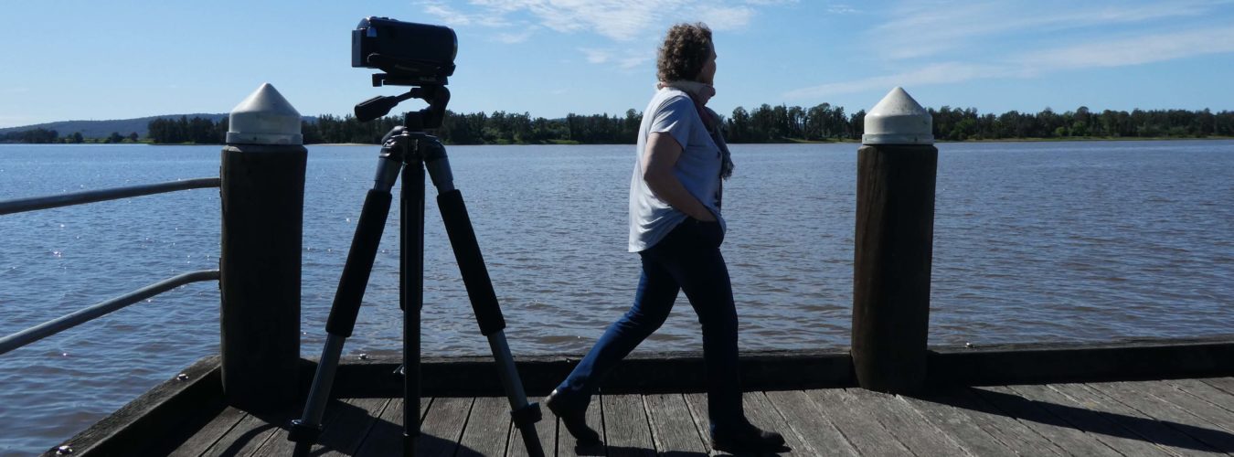
If there is one thing I’m not, it’s a hardcore camper. I do like some creature comforts, and staying in a local motel, pub, guest house or airbnb is an excellent way to support local economies.
But this year, in the interests of exploring the many ways there are to enjoy a #holidayherethisyear we decided to drag our camping bits and pieces out of the shed and head for one of the most beautiful places in the NSW, Myall Lakes National Park between Nelson Bay and Foster.
What we loved
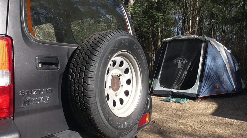
Once you’ve got through the physical effort of getting the tent up and the stretchers sorted out (especially when there’s been a long time between adventures) there’s something uniquely relaxing about existing a bit closer to nature. The sound of the birds, the sound of the breeze. The view through the trees to the glimmering lake. The changing light at dawn and dusk were incredibly beautiful. Cooking and eating alfresco style really does have its charms. I think we’ll be dragging the tent out again during autumn before things get a little too chilly.
Where we stayed
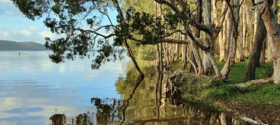
Myall Lakes National Park is part of a network of waterways which includes Myall, Smiths and Wallis Lakes between Nelson Bay and Forster on the NSW coast north of Newcastle. The park contains the only remaining example of a large coastal brackish lake system on the New South Wales coast which has not been greatly changed by human activity.
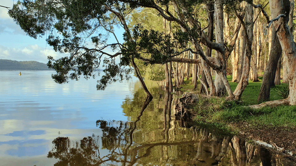
The dominant feature of Myall Lakes National Park is the lake system. The three interconnected lakes, Bombah Broadwater, Boolambayte Lake and Myall Lake, occupy an ancient river basin bounded by high sand dunes on the coastal side and much older flatter dunes in the west. Some of these dunes are 2000 years old.
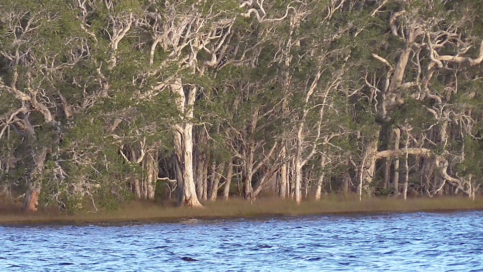
There are plenty of camping locations – all with varying facilities. We pitched our tent at Neranie Bay camping ground which has toilets (pit) and just basic camp sites. But the location is glorious – just metres from the lake where we swam and watched the coming and going of the days.
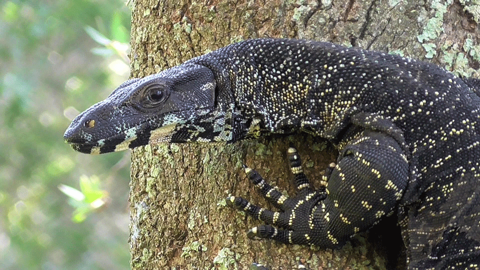
Wildlife is abundant in the park – including many water birds attracted to the vast wetland system. Our camp site was frequently visited by some of the spectacular Myall monitor lizards. Possums and bush turkeys were other frequent visitors.
This campground is off The Lakes Way near Bungwahl. Beautiful Seal Rocks is just a short drive away to the east. The site is busy on the weekends, but we’re told you’ll have it to yourself during the week. Bookings are not required at this campground at the moment. Campsites are available on a first-in first-served basis. However, online bookings are on the way, and you should check with NPWS first.
What we did
Water ways
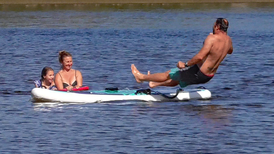
A swim in the cool waters of Myall Lakes is a memorable experience. The water is only slightly salty and is clear and clean. Unless a wind whips up, it’s generally calm and safe. There’s a marked area for swimming which boats must remain outside. But perhaps more than anything, it’s the setting – surrounded by beautiful old paper barks and eucalypts. You soon forget the worries of the week. There were lots of people kayaking, paddleboarding and mucking about in boats too.
Explore some history
The area now covered by Myall Lakes National Park was occupied by the Worimi people whose territory extends south to Maitland and the Hunter River, north to Forster–Tuncurry, and as far west as Gloucester. Their links to this beautiful place are long but not well recorded. Logging of cedar by Europeans began at the end of the 1700s and continued until no more cedar remained.
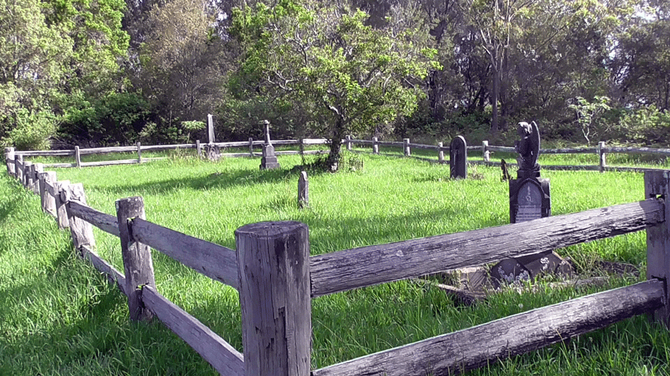
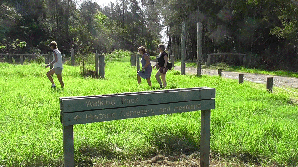
The timber cutters sayed on in the region to mill hardwood including a sawmill at Neranie with a small village for the workers. Boat building was also done in the area. Remnants of this past industry can be seen close by. You can follow a signposted track to Neranie Headland which will take you to a cemetery in the bush. It must once have been a very isolated spot indeed. It contains gravestones of pioneering local families dating back to the nineteenth century. On a bit further is the headland with glorious views across the lakes.
Sugarloaf Point lighthouse
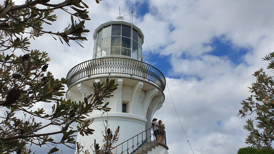
This beautiful old lighthouse is located within the Myall Lakes National Park and sited on a headland at Seal Rocks (about 15 minutes drive away). Sugarloaf Point Lightstation includes the still operational lighthouse and a complex of living quarters and operational buildings from the days when it was manually run. It guards Seal Rocks, a treacherous rock formation to the south.
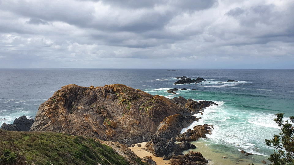
It is the first lighthouse designed by colonial architect James Barnet and was completed in 1875. The views are stunning. Back at Seal Rocks you will be able to get a coffee and take a swim at one of the pristine beaches (there were dolphins frolicking on the morning we arrrived). Parking is a bit of an issue. Then it’s back to the peace and tranquility of your lakeside camp at Neranie.
Land of the giants
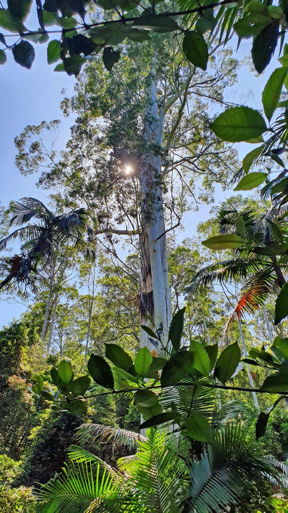
On our way back to Bulahdelah as we headed home, we took a short detour off the main road to see what is believed to be the tallest tree in NSW. An extraordinary 400-year-old flooded gum (Eucalyptus grandis) which stands 86m high with a circumference of 11.5 metres at its base. The fact that it survived the logging industry is amazing enough in itself.
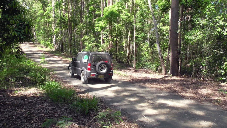
Today the tree is protected by the National Parks and Wildlife Service and there is a boardwalk to a viewing platform. It is really quite magnificent. The road in is about 5km and a bit rough and narrow in spots.
