What we loved
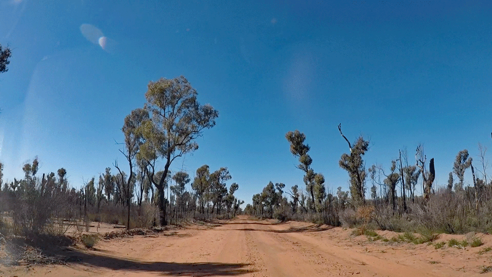
The Pilliga Scrub lives up to it’s name. A seemingly endless tangle of cypress pine, ironbark, scibbly gum and low shrubs stretching from horizon to horizon. Criss crossed by a network of dirt roads that once supported logging trucks, these days the vast ancient Pilliga Forest is protected by national parks, nature reserves and conservation areas. It’s the largest native forest west of the Great Dividing Range – 5,000 square kilometres of public bushland. It’s big, it’s rugged, it’s fascinating.


What we did
Discovery Centre
First stop on our day long adventure in the Pilliga Forest was at the Pilliga Discovery Centre at Baradine – an easy half hour drive from where we were staying at Coonabarabran. Here you’ll find interactive displays about the timber and mining history of the Pilliga; about it’s unique wildlife, vegetation and landscape; and about the traditional Gamilaroi land owners. It’s open 9am-4pm seven days.


But most important of all, this is an opportunity to talk with the staff about where to go and what to do and how much time to allow. They can provide you with a detailed map and good directions and let you know if there are road closures (possible after rain).


Be prepared
Baradine is your last chance to get fuel and food supplies if you haven’t already done it. There’s an IGA in the main street. Make sure you have plenty of food for a picnic at one of the main sites and plenty of water. Mobile coverage is very patchy at best so make sure you let someone know your plans.

Roads
To be honest, a day in the Pilliga is really a 4WD event. A 2WD with good ground clearance might also be OK. Leave your Porche at home. The roads we crossed were pretty good for the middle of a wilderness, but there are corrugations galore, rough spots and very sandy creek crossings. Drive to the conditions, watch for wildlife crossing.


Pilliga Forest Tower
This was our next stop around 40km from Baradine. The drive was interesting with emus running on the road up ahead and kangaroos bounding off into the scrub. The impacts of previous mammoth bushfires was obvious in parts with the regenerating eucalpyts in varying degrees of resprouting. The fire-suceptible Callitris pines were not so lucky – charred to straight black lifeless stumps in many areas.

Eventually you will come to the turn into the Salt Caves picnic area over which looms the Pilliga fire tower. The picnic area has sheltered picnic tables, gas barbecues, and toilets. There is a camping area. Have a look inside the salt caves which were used by traditional owners for shelter and once contained salt deposits. I read that these were taken away by settlers for salting meat.

The tower is an absolute must – located right in the centre of the Pilliga. From it’s viewing platform you can see for miles in every direction. It’s the point at which you can really appreciate just how big The Pilliga is. To the north you can seen Mount Kaputar (near Narrabri) and to the south the distinctive profile of the Warrumbungles rises above the plain.
Sculptures in the Scrub
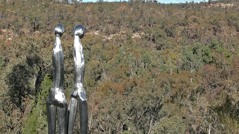
With map in hand, we headed on a new road about 30km back the way we came. This brought us to a unique place that has become something of an attraction in the Pilliga – Sculptures inthe Scrub. A very easy walk will take you past a series of wonderful sculptures inspired by Aboriginal culture with spectacular views over the Dandry Gorge.


We strongly suggest you follow the well marked trail down into the cooler and shady creek bed of the gorge where cliffs rise up around you and there’s a sense of tranquility as the breeze literally whispers through the trees. This is a special place for the Gamilaroi. The area is rich with their history. The artworks tell part of their story. There are picnic tables and toilets at the start of the 3km loop walk. There are also picnic tables at the bottom of the gorge.


Sandstone caves
You’ll have to get directions to this very special place at the Discovery Centre because it’s not signposted at the request of Aboriginal Elders. The drive is more than 30km and you will arrive at a point well off the main road. The marked trail will lead you to an impressive sandstone hill into which caves have been carved by erosion over millions of years.


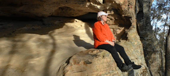
The trail circumnavigates the hill (about 2km of easy walking). To understand its full significance, it’s best to book a tour with an Aboriginal Guide (Discovery Centre), but its easy to appreciate how the local people would have sheltered here with panoramic views all around. There are rock engravings as well as physical evidence of their presence – but they are behind steel mesh fences to protect them from damage.

As the sun dipped low in the sky, the reds, golds and cream colours of the ancient sandstone were highlighted. Take a moment to sit and contemplate and listen to the birds before heading back to the car park. By then it was time to head back to Coonabarabran – about 20km away.

